- Summary
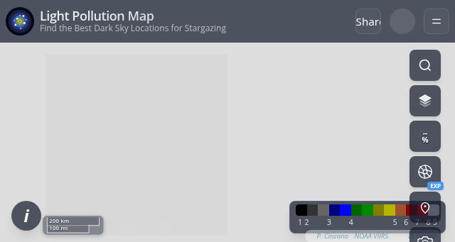
- The Light Pollution Map website and app provide tools for stargazing enthusiasts. Users can explore a map displaying light pollution levels based on Bortle scale data, with options to overlay weather conditions, aurora probability (beta), and satellite imagery. The app also includes a compass altimeter, stargazing forecasts, and a searchable database of certified dark sky locations. Users can adjust map opacity and layer visibility to customize their viewing experience.
- Title
- Light Pollution Map | Bortle Scale & Dark Sky (2026)
- Description
- Explore the most accurate 2026 light pollution map web app. Check Bortle Scale and SQM data, and discover dark-sky, Milky Way, and aurora spots near you.
- Keywords
- light, pollution, aurora, stargazing, data, dark, location, probability, observation, locations, show, best, share, time, exposure, night, conditions
- NS Lookup
- A 104.21.26.56, A 172.67.135.143
- Dates
-
Created 2026-03-09Updated 2026-03-09Summarized 2026-03-12
Screenshot
Query time: 552 ms


